News
Recording wildlife in the North Pennines
26 July 2024
Recording wildlife in the North Pennines
26 July 2024
Blog by Adam Millington, Biodiversity Lead, North Pennines National Landscape
Why not try wildlife recording? Go out into your local area, or further afield in the North Pennines, and collect information on the wildlife you see. You can collect and submit your sightings via a smartphone app, in real time, or keep paper records and submit them later. All record data is useful and a complete ‘record’ will contain:
- What – which species have you found? Can you take a picture without disturbing the wildlife? Don’t worry, many apps can help with ID, and all records will be verified by experts or other app users
- Where – records should be submitted with a location so they can be mapped accurately. Some apps will automatically submit device GPS location with a record, but if you prefer paper maps and grid references then that’s useful too!
- When – please date all your records. This will help other users and experts verify your sighting, as it links the species to when we’d expect to see it. This not only helps confirm likelihood of correct identification but also helps identify any patterns of change in when species are emerging or present in our landscape.
- Who – make sure your record can be traced back to you or your recording group. This may be via an app username or contact email address. If there are any questions about your record or if more information is required this will ensure you can be contacted.
Wildlife recording not only generates useful data, it is an enjoyable activity that anyone can do. Records could be contributed by schools, individuals, amateur groups, or specialist recorders, and could be part of a co-ordinated effort, such as a bioblitz, or submitted spontaneously on your Sunday stroll.
Using apps such as iRecord and iNaturalist can be fun, and ensures the records you collect are consistent and shared with local record centres, where data are compiled and stored. Depending on which app you use, you will also be able to see maps, graphs and images of your own records and those of other recorders, and keep an eye on recording leaderboards, and join projects specific to your area or interests. We’d like you to you join the North Pennines National Landscape project on both apps.
We have two local record centres in our region, Cumbria Biodiversity Data Centre and ERIC North East (Durham and Northumberland). The data is checked and sent on to the national platform, NBN Atlas, and eventually to the global biodiversity information facility, GBIF.
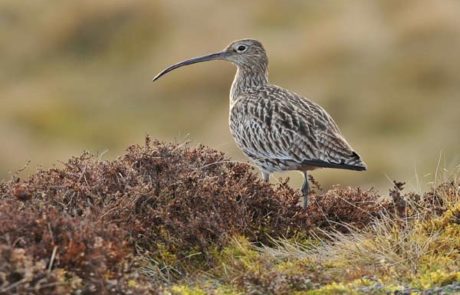
The data is useful to many, including conservation organisations, ecologists, researchers, and local authorities. Wildlife record data may be used in informing land management, conservation, targeting research, and planning decisions. Here in the North Pennines National Landscape, it helps us prioritise, find opportunities and identify constraints in areas of our work. For example, we wouldn’t want to support tree planting that could negatively impact an area of botanically-rich grassland or displace breeding wading birds such as curlew. Over time, record data can highlight changes in the distribution of species, where we might expect to see a certain species and when, and may identify range shifts, where the geographical area a species can occupy changes in response to climate change.


