Visit & explore
Cold Fell high level walk
Cold Fell high level walk
A walk of 10.6km (6.6 miles) taking approximately four hours.
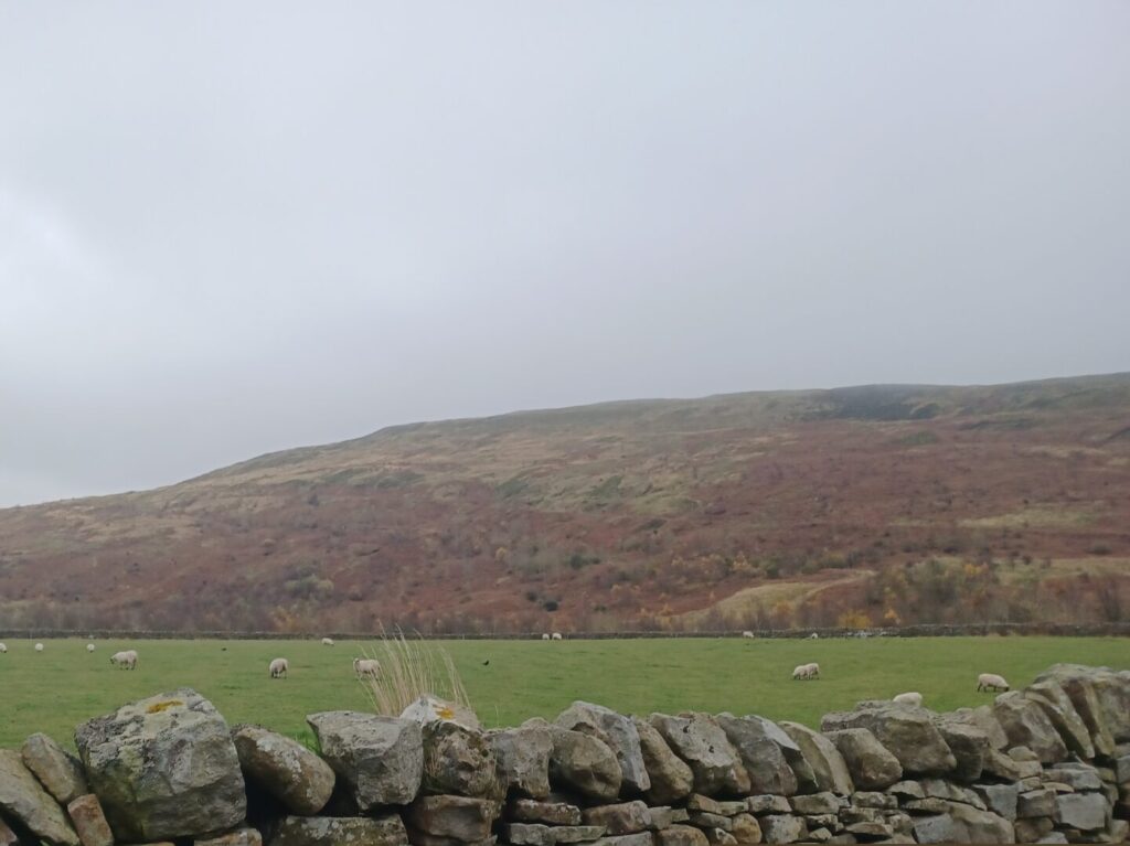
Cold Fell, a two thousand foot hill, is the most northern in the Pennine chain and has a Bronze Age tumulus on the summit. The walk can be extended to include Tindale Fell. Walkers can also visit RSPB Geltsdale’s Stagsike information point and hides at Tindale Tarn.
This walk is classed at hard. It follows paths over moorland which is tussocky and crosses wet peat bogs in places. There are steep sections to the walk. The route crosses open access land and access can sometimes be restricted for nature conservation, land management or public safety reasons – visit www.openaccess.naturalengland.org.uk for the latest information.


