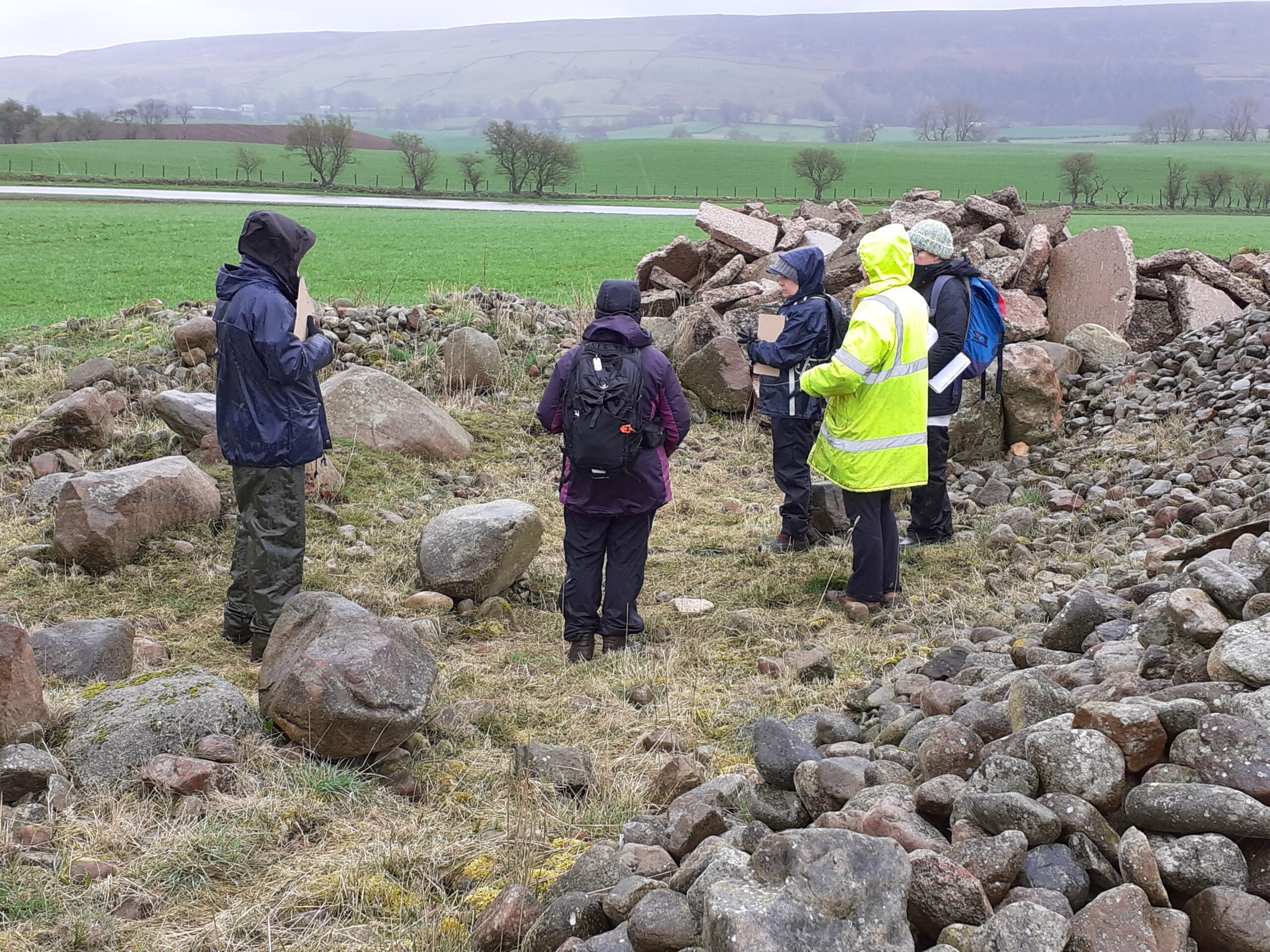
Have you ever wondered how Archaeologists map their finds and sites?
The answer is archaeological surveying, an important aspect of archaeological fieldwork that records the footprint, profile, and location of a site, as well as the location of any important artefacts discovered.
Facilitated by Elder Archaeology, there are volunteer opportunities to help survey mining sites in the Alston Moor area.
There are a total of 15 volunteer days across three weeks starting Tuesday 10 March, 10am to 3pm. Volunteers can register for any day, and any number of days. Dates in March are 10-14, 17-21 and 24-28. Ideally suited for 18+.
As a volunteer you will help conduct these surveys in a variety of ways, utilising technology such as laser scanners, global positioning systems, and drones. As well as more basic technology, such as dumpy levels, measuring tapes, and drawing implements. Training will be provided by experts from Elder Archaeology.
Please sign up using the system Better Impact
Future opportunities.
Over the next two years there will be two month-long opportunities to participate in archaeological surveying on sites in the North Pennines National Landscape and UNESCO Geopark as part of the Land of Lead and Silver project. Elder Archaeology CIC will provide instructions and guidance as you compile your own surveys across these sites. No experience is required, and all equipment will be provided, however it will require lots of walking across uneven moorland in inclement weather, so warm and waterproof clothing is strongly recommended.

![]()