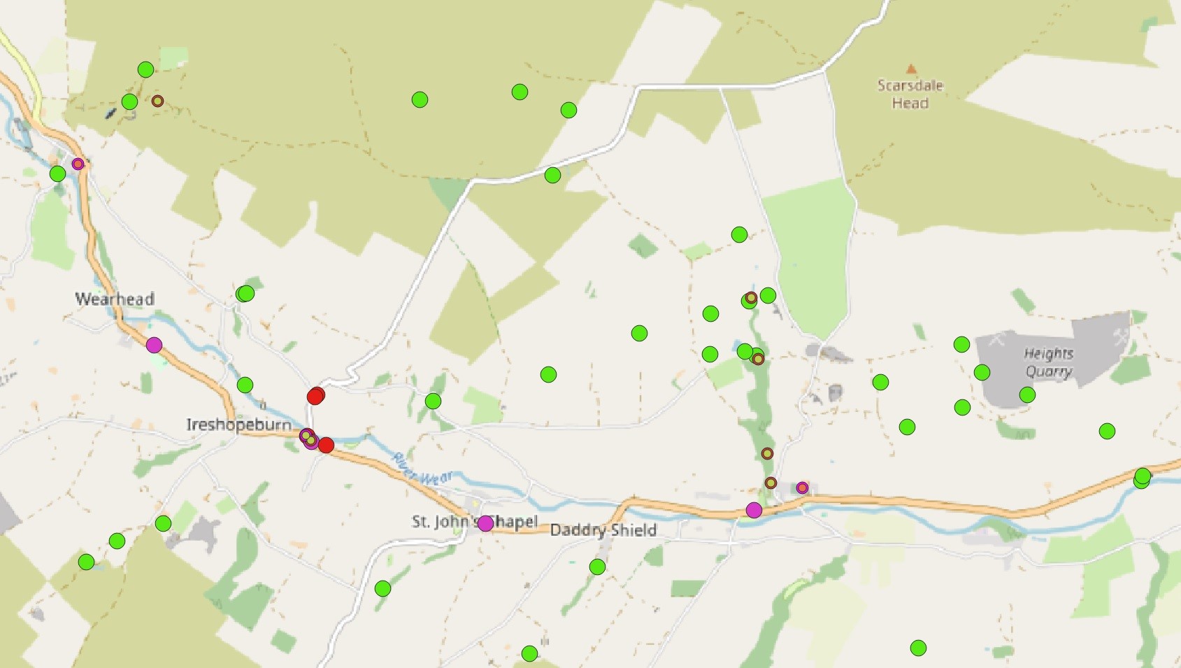
Help us map historic sites by learning how to use this digital mapping software, QGIS (Quantum Geographic Information System). This can be used to look at how many historic sites we have in a particular area of the North Pennines, where they are located, and give insight into how the sites were used. The QGIS workshop is on Saturday 2 November 10am to 4pm, at Carrshield Village Hall, near Hexham.
QGIS is a free digital mapping software that is commonly used in archaeology and heritage management. The programme can be used to gather, store and visualise data. You will also receive a copy of our QGIS manual that you can keep and use as you continue using the programme.
Please note, all attendees need to be over the age of 18 and will need to bring along their own laptop in order to be able to join the workshop.
Please sign up using the volunteer system Better Impact


