What we do
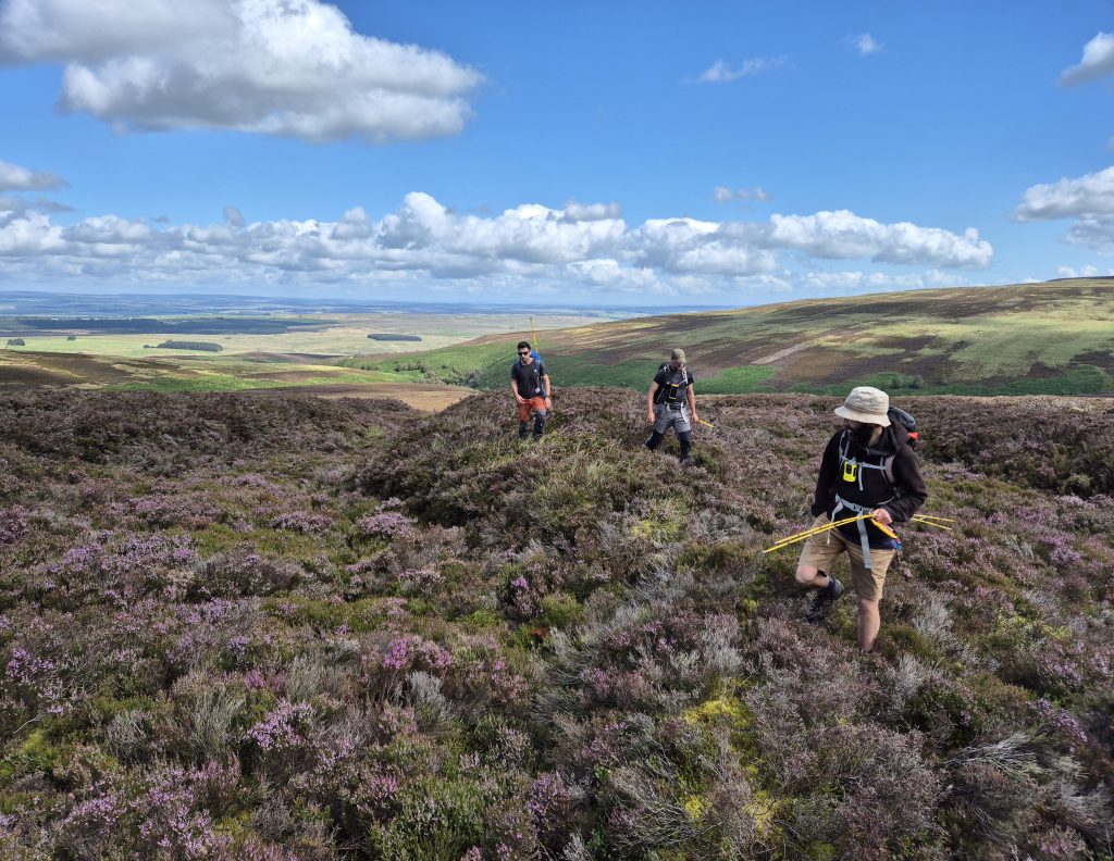
OREsome archaeology
We produced an overview of the history of the North Pennines lead industry for people taking part in the OREsome project (reproduced, with some amendment, from The North Pennines Lead Industry, Key sites and Proposals for Action, an undated (1999) report by the North Pennines AONB Partnership).

Development of the North Pennines lead industry
The production of lead and lead products from native ores is no longer carried out in the UK. The lead industry can be broken down into four main components – mining, ore separation (washing), smelting, and production of lead products and compounds. Lead was mined and separated in the North Pennines ore field and usually smelted here, but, with one exception (a shot tower at Alston), the fourth stage was not carried out here.
The geology of the British isles resulted in many lead deposits being found in upland areas such as the Yorkshire dales, the Peak District, the Mendips and mid-Wales, as well as the North Pennines. Although there are common features across the national industry, each area developed a distinctive tradition of operation, dependent on a complex web of factors including geomorphology, availability of power and fuel, mining laws and traditions and access to capital.
Lead mining in the North Pennines has a long history – this has been acknowledged and recognised for at least a hundred years, and yet there are still gaps in our understanding of the development of the industry. There is now a considerable body of published material on the North Pennines lead industry, covering its history, mines, methods of working and the form and nature of deposits.
Enough medieval records survive to demonstrate a well-established mining and smelting industry by the middle-ages. It seems probable that the origins of lead mining in the North Pennines are prehistoric, but much fieldwork and research remains to be done on the early industry. Documentary work by Blanchard (who stresses the importance of the silver found in the ores) and fieldwork by Pickin, Young and others as challenging traditional models of the early industry. Roman exploitation of the North Pennines ores remains unproven, though it is inconceivable that it did not occur, almost certainly on a large scale; the Maiden Way Roman road (which runs across the high hills between the Kirkby Thore on the A66 and Carvoran on Hadrian’s Wall) and the fort at Epiacum (Whitley Castle, Alston) must owe their origins to lead and silver mining during Roman times.
Much more is known of the development of the industry from the 17th century onwards, and it is clear that a series of cycles of expansion and depression culminated in a period in the 1860s and 1870s when the North Pennines was the dominant lead producing area in Britain producing about a third of the country’s lead.
The period form the mid-18th century to the third quarter of the 19th has left most of the upstanding remains visible today, but also had a profound effect on the development of the wider landscape of the North Pennines. A considerable increase in population, a widespread expansion in land under farming, the influence of the major lead mining businesses, and a development of settlement in areas with no other forms of activity helped create the landscape we see today.
There is no tradition of mining laws or free mining granting privileges to individual miners in the North Pennines as occurs in Derbyshire and elsewhere. This is important, because it meant that the constraints to highly capitalised development on a regional scale did not exist in the North Pennines.
In the 19th century production of lead from the North Pennines can be split into three roughly equal sectors. One third of all lead came from small (often one-mine) companies. This is a type of production much more common in other areas and has tended to be overlooked in the North Pennines because of the fragmentary survival of the documentary record.
What differentiates the North Pennines from any other area of the country, however, is the dominance over a long period of time of two large businesses. The London Lead Company (correctly the Governor and Company for the Melting of Lead with Pit Coal and Sea Coal) and WB Lead (widely but incorrectly known as the Blackett/Beaumonts) dominated the North Pennines for a period of 200 years – an unparalleled achievement. Each had about a third of North Pennines production in the 19th century, and each operated a number of mines and smelt mills across a wide geographical area. Their ability to invest capital, to plan extraction and smelting on a regional scale, and to bring stability to the industry had a profound effect on the social structure and landscape of the North Pennines.
Both mining companies fully understood the need to take a long-term view of the industry and both initiated and maintained well-conceived and ambitious exploration programmes. These were based on a thorough understanding of the local geology and the way in which this influenced the form, disposition and productivity of individual deposits and groups of deposits. During the 18th and 19th centuries the North Pennines orefield was not only contributing significant amounts of lead into the British economy but was contributing a wealth of novel ideas and concepts to the rapidly emerging science of geology.
The decline of the industry when it came was both sudden and rapid. In the late 1870s the price of lead collapsed, and with it most of the North Pennines industry. Some lead production continued into the 1930s and some mines turned to other minerals, but the history of the area for the past hundred years has been one of population decline, amalgamation of the miners’ smallholdings into larger farms, and the abandonment of the higher settlements.
The effect of the lead industry on the North Pennines landscape
The lead mining industry had a substantial influence on the evolution of the landscape of the North Pennines and left an enduring legacy, not only in the physical remains of mining and related industrial activities, but also in the patterns of settlement and land use associated with it.
The influence of the industry varies across the region. In some areas lead mining features remain minor elements in a landscape formed largely by other forces. In others, the influence has been greater; the physical remains are more significant and extensive and the effects on the development of the surrounding landscape more pervasive. In areas such as Upper Weardale, Rookhope, the Nent Valley, South Tynedale, West Allendale, Allendale and Hudeshope, landscapes can only be properly appreciated through an understanding of the mining industry itself and its relationship with the local geology, ecology and agricultural economy.
At the height of the industry the North Pennines was one of the most heavily industrialised upland landscapes in England. The extraction, processing and transport of lead and associated minerals had a substantial physical impact on the landscape and affected extensive tracts of land. The pattern of distribution of mineral-bearing veins across the orefield led to dispersed workings and related operations. This, together with the need for water, fuel, and a degree of centralisation in the smelting process, required a high degree of organisation in the landscape and a complex infrastructure of transport routes and water supply lines. The industry is therefore best understood at the landscape level as a complex of interrelated features and processes.
Before the expansion of the lead industry the North Pennines was a sparsely populated pastoral landscape of livestock farms strung out along the valley floors separated by broad expanses of moorland and fell, forest and park. Villages were few and restricted to the more sheltered land of the lower dales. Small-scale lead working was an essentially rural activity which supplemented incomes from agriculture. As the industry developed, the increasing population led to the development of new farms and settlements and new pressures on the land. At first this was a piecemeal process. New farmsteads were developed close to existing farms in small hamlets or farm clusters, the better inbye land of communal meadows and pastures was subdivided, and new intakes were made from the moor. Mining and farming developed together, with subsistence agriculture supporting the often more uncertain income from mining.
As the industry grew, this process became more organised. New farms were developed along the moor wall, higher pastures were converted to meadow and new moorland intakes were improved to pasture through drainage and liming. In places it is difficult to distinguish the impact of lead mining from the more general processes of land improvement and enclosure taking place elsewhere in the uplands. It is clear however, that lead mining fuelled the process in the orefields and led to a very high density of small farm units working land well above the previous limits of agriculture of about 300m. This is particularly notable in the upper dales where land was worked, and occasionally cultivated, at over 550m; eg. at Grassfield at the top of Teesdale. The allotment of land to farming families was often the primary purpose of enclosure and reorganisation, and the planned origin of these smallholdings remains visible in the standardised design of farm buildings and regular layout of allotments.
With enclosure came a demand for agricultural and building lime, won from local limestone quarries and burnt in numerous limekilns. The demand for sandstone for building and drystone walling was met from local quarries. The increased pressure for grazing land and the demand for mining timber and charcoal was responsible for further decline in the woodlands of the dales, which remain sparsely wooded in comparison with many others in the Pennines. As with enclosure, these features are not unique to the lead mining landscape but are integral and important aspects of it.
As the industry developed from medieval times onward, its direct impact on the landscape, in addition to the gradual changes effected through social and population change, also grew. The scale of mining enterprises led in many places to the damming and channelling of water for power, causing the faces of many valleys to alter significantly. The scars of hushes on hillsides scoured of topsoil, the artificial dams and reservoirs, the leats of artificial water courses and the channelling of burns and rivers have substantially modified the natural appearance of the dales and the flow of water through the landscape. In addition, the presence of shaft mounds, spoil tips and the criss-crossing of tramways and railways all tattoo the hills of the North Pennines with the mark of mining.
While mining remained closely associated with agriculture, the industry also stimulated the growth of settlements. New housing developed in and around existing villages. In places this occurred in a piecemeal fashion as in Upper Weardale where villages coalesce to form a ribbon of development along the dale floor. Elsewhere the process was more organised; housing estates were built by mining companies to house workforces, such as at Middleton-in-Teesdale, and company housing was also grafted onto existing villages as at Allenheads. The high density of settlement, out of scale with the capabilities of the agricultural landscape, is a notable characteristic of the North Pennines orefields.
Both the industrialisation of the North Pennines and its subsequent decline and reversion to pastoral agriculture have had a profound influence on perceptions of landscape. Mining and processing works were abandoned and fell into decay. Smaller features were gradually absorbed back into the landscape, while some of the larger sites were demolished, reclaimed or reworked for other minerals. This process of decline extended to farm buildings and field boundaries as the agricultural economy adjusted to the decline in population and prosperity. Derelict farmsteads remain a feature of the upper dales although many have now been demolished or converted to other uses. The relatively small size of agricultural holdings survives together with some traditional agricultural practices and the tradition of dual employment. Increasingly holdings are amalgamated to form larger units and livestock rearing is intensified with a decline in both traditional grassland management and the maintenance of boundary walls and field barns.
The North Pennines lead industry was at its height in the heyday of topographical writing and painting, a factor which contributed to the oft-noted ‘aesthetic shadow’ covering the North Pennines in this period. Notable exceptions are the visit of Charles Dickens to Upper Teesdale (he based Dotheboy’s Hall on an institution at Bowes) and the work of J M W Turner who produced some dramatic images of High Force. More recently, W H Auden drew inspiration from the decaying remnants of the lead industry. He knew the area intimately and references to many North Pennines sites can be found in his poetry. He referred to the North Pennines as his ‘great good place’, and likened his vision of eternal bliss to a limestone landscape. Although linked to the decline of the lead industry rather than its prime, this must now be considered as an essential element of the North Pennines lead mining heritage.
You may also like...


Did you know…