What we do
Unmanned Aerial Vehicles
As part of Pennine PeatLIFE, Unmanned Aerial Vehicles (UAVs) are used to compliment traditional fieldwork practices such as walk-overs and fixed-point photography to capture high resolution aerial photographs of restoration sites.
Both fixed wing and quadcopter drones are used by specially trained field officers to capture images. Flight maps of restoration sites are created which the drones follow to capture aerial images in a sequential order. Using specialist software, the photographs are then knitted together to create one large file which can be used in GIS (Geographic Information Systems) mapping for analysis.
These images are used for a variety of purposes. Before restoration, aerials can be used to identify moorland drains, dendritic erosion gullies, haggs and areas of bare peat to plan where and how much restoration work will be required. From them, the amount of brash needed to cover areas of bare peat and the number of stone dams and coir rolls required is calculated, and their approximate location is recorded.
After restoration, aerial photographs can be used to assess the impact restoration has had on water flow, vegetation health, cover and composition and carbon dioxide emissions. UAV aerial photography can also be used to assess the impact that cutting for heather brash and Sphagnum clump harvesting has on donor sites.
UAVs allow data to be collected from a much larger area at a much faster rate than surveying on foot as well as opening up a new dimension of data analysis. This includes better modelling of water flow paths, improved classification of bare peat areas and more accurate 3D landscape models, which will all help shape future restoration work. They also enable us to capture the scale of the peatland degradation we’re working with and communicate it and the restoration techniques we use more clearly to the public.
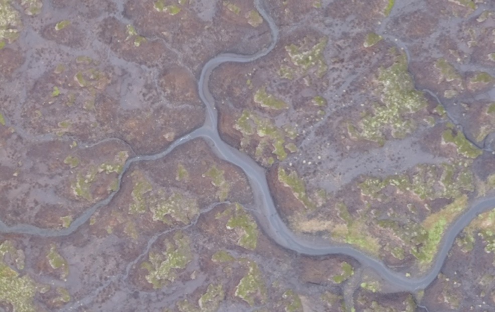
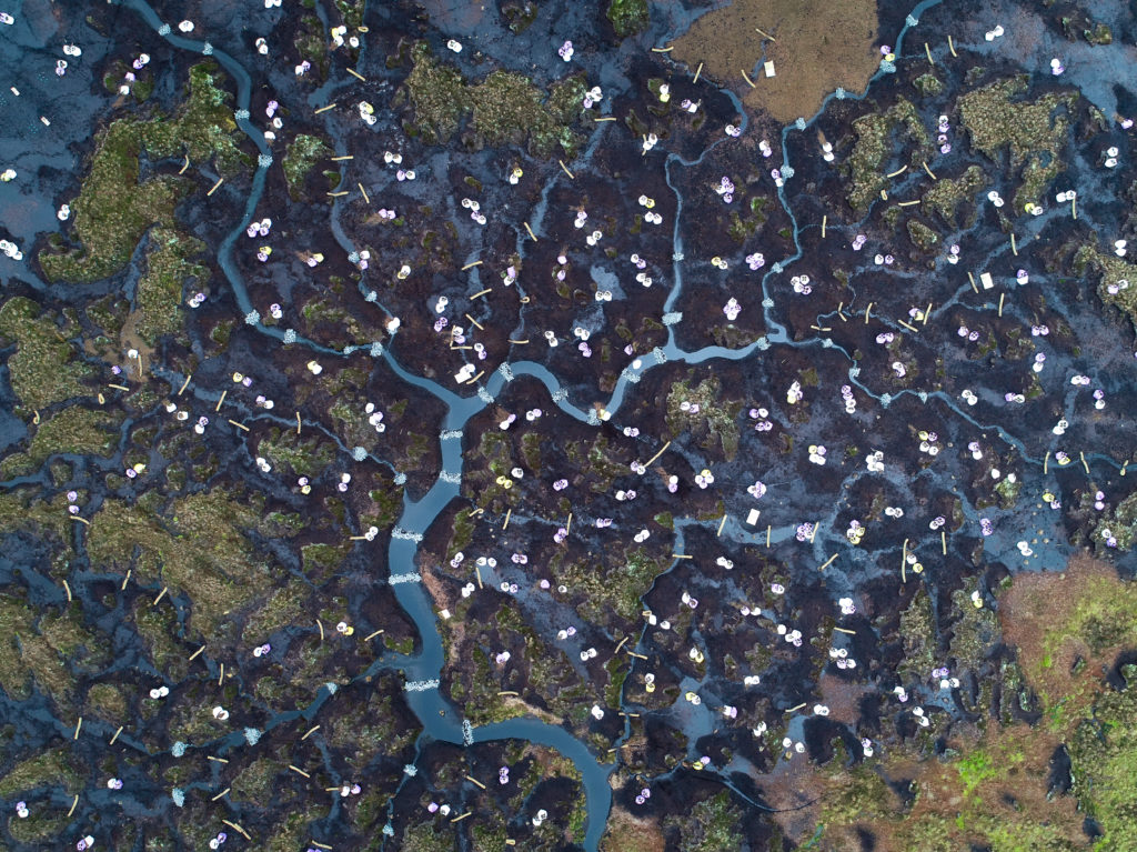
The images below show aerial photographs of an erosion gully taken before and after restoration, two years apart.
