What we do
Unoccupied Aerial Vehicles (UAVs)
The North Pennines National Landscape team’s peatland programme first started using Unoccupied Aerial Vehicles (UAVs) in 2017 as part of the Pennine PeatLIFE project. We use quadcopter UAVs, which play an integral role in our restoration. They enable the team to capture high resolution aerial photographs of restoration sites before, during and after restoration. The resulting datasets allow our team to plan and monitor restoration at a scale and pace that is not possible using a purely foot-based approach.
We are one of the leading UAV users for peatland restoration in the UK and also offer UAV surveys to external organisations. If you are interested in contracting out our UAV services, please contact our GIS & Remote Sensing Officer who will work with you to understand your needs and project requirements.

Pilots and UAV fleet
All field staff within the North Pennines National Landscape team’s peatland programme are licensed to fly in the Open category. Staff receive further training to be able to plan and carry out both automated and manual flights safely and efficiently.
The North Pennines National Landscape team currently has a fleet of four UAVs:
- DJI Phantom 4 Pro
- DJI Phantom 4 Multispectral
- DJI Mavic 3 Enterprise
- DJI Mini 4 Pro
A mobile GNSS (Global Navigation Satellite Systems) base station (DJI D-RTK 2) is used as required to improve relative accuracy within surveys. The base station collects satellite signals to calculate errors in GNSS data, providing real-time correction information to the UAVs.

Key UAV data outputs
Our typical true-colour UAV surveys produce two key data outputs, which are created using specialist processing software:
- Orthomosaics: a single aerial image of a site created by stitching together all of the aerial photographs taken during the UAV survey.
- Digital Surface Models (DSMs): a surface elevation model of a site created from the aerial photographs using a process called Structure from Motion (SfM) photogrammetry.
These outputs are then imported to GIS (Geographic Information System) software for mapping purposes.
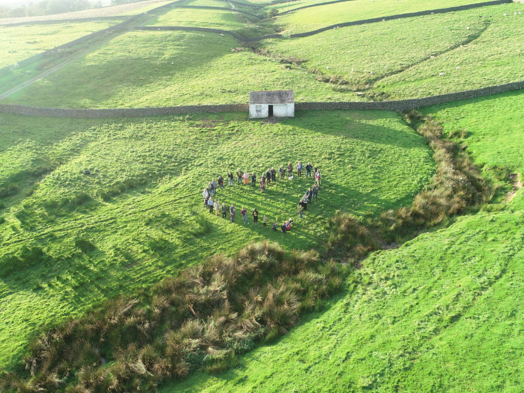
As well as survey work, our UAVs are used for filming and photography for engagement purposes, often giving a unique perspective of our work.

Example uses of UAV data
- Manual and automated mapping of drainage and erosional features such as grips (artificial drainage channels), gullies, and haggs (erosional edges)
- Supervised image classification to quantify areas of bare peat, moss-rich plant material coverage, and different vegetation types
- Precise intervention mapping and quantification, for example dam locations and sizes
- Digital twin (such as a static 3D model) creation for enhanced desk-based site visualisation and intervention mapping
- Engagement and communication with stakeholders

You may also like...

Did you know…