What we do
Geographic Information System (GIS)
Peatland restoration requires substantial amounts of surveying and mapping. The North Pennines National Landscape team’s peatland programme uses a Geographic Information System (GIS: a computer system that can display and analyse geographically referenced information) extensively to manage spatial data and create maps throughout the restoration process, from initial planning to long-term monitoring.
Initial desk study
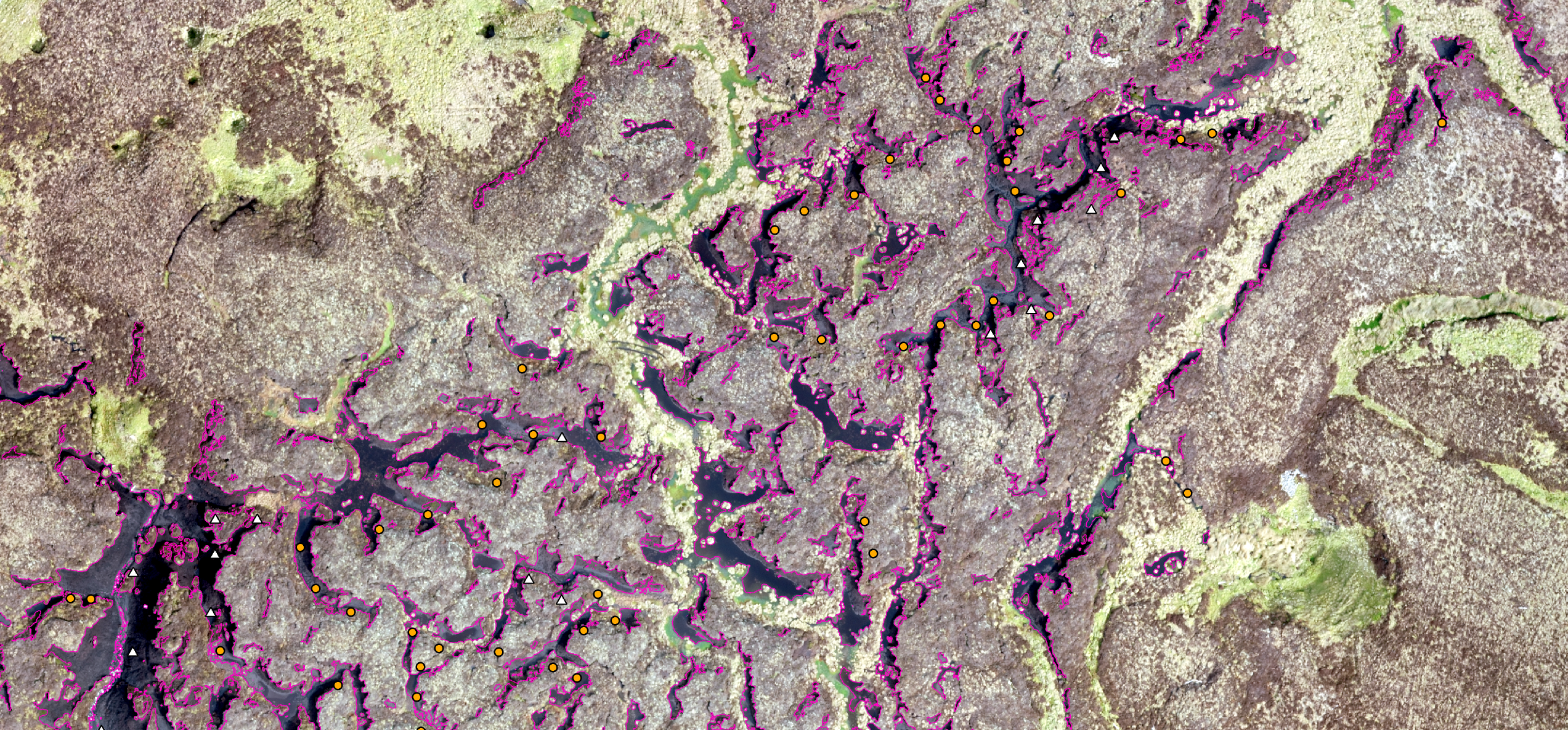
Even before heading out to a potential restoration site in person, much can be achieved from the desk using remote sensing (the process of acquiring information about an object or area from a distance by measuring its reflected and emitted radiation) datasets in a GIS. For example:
- commercially-captured aerial photographs can be used to automatically map and quantify areas of eroding bare peat using supervised image classification techniques. A staff member creates digital training samples using the aerial photographs. An image classification algorithm then uses these samples to map all image pixels that are similar to those within the training samples. This methodology is significantly quicker and more accurate than a staff member manually drawing the areas of bare peat.
- the Environment Agency’s National LiDAR Programme provides ground elevation data, which can be used to automatically map erosional gullies and edges. The latter uses a bespoke GIS model that was developed in house. Staff members quality check the outputs of automated methods and make manual adjustments where necessary, this is also far quicker than drawing the erosional features manually.
- mapped erosional features can be input to our custom-made GIS model to automatically calculate the carbon credit potential of a site using the Peatland Code, the UK government-backed voluntary carbon market standard for peatland projects.
- locations for restoration interventions, such as metre-scale dams, can be determined to produce an initial restoration specification of a site. These locations can then be checked and adjusted during field surveys rather than doing such surveys of locations from scratch.
Unoccupied Aerial Vehicle (UAV) survey
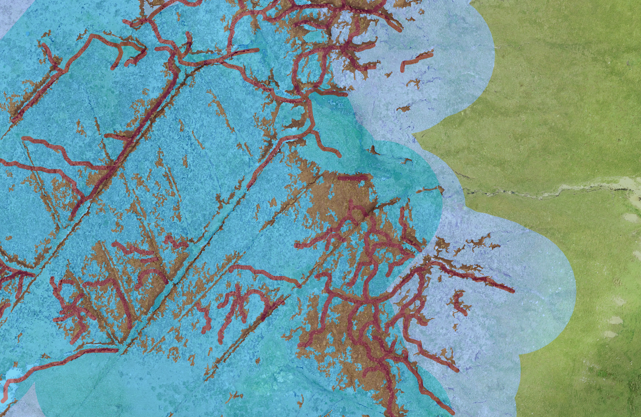
Subject to access and weather conditions, the North Pennines National Landscape team’s peatland programme will carry out UAV surveys of proposed restoration sites. UAV surveys can provide the team with high resolution (2-3 centimetres per pixel) and up-to-date:
- aerial photographs of the site which can be used to create single images of the whole site (orthomosaics); and
- Digital Surface Models (DSMs) of the site which are an alternative source of elevation data.
These datasets are imported to a GIS and used to re-map or adjust erosional features and restoration interventions mapped during the initial desk study.

Field surveys
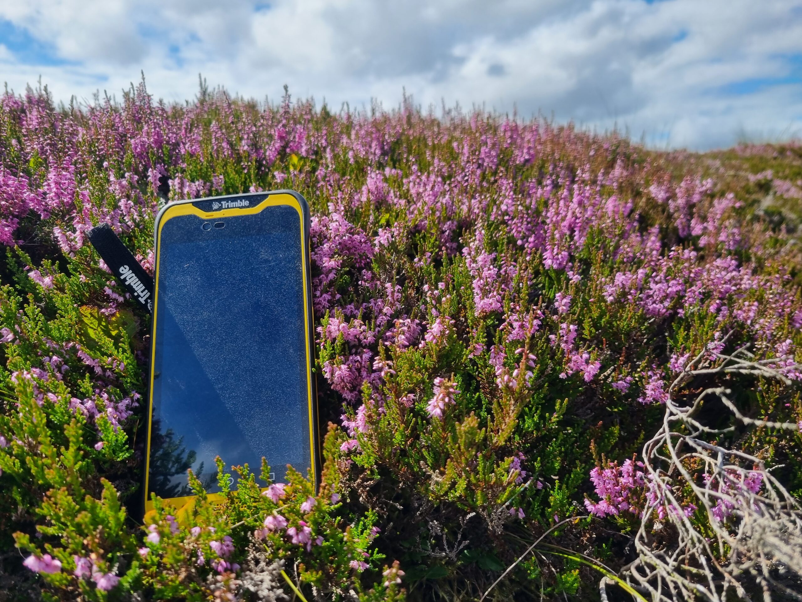
To carry out field surveys of potential restoration sites, the North Pennines National Landscape team’s peatland programme uses GPS devices installed with specialist data collection apps. These apps enable maps of the desk-mapped erosional features and restoration intervention locations to be taken digitally onto site by all field staff (without an internet connection) and adjusted as necessary with sub-metre accuracy. Even the most innovative digital approaches are not better than seeing a site in person. The apps can also be used to record new datasets such a peat depths and vegetation surveys. On returning from a site, field staff sync their apps to an online GIS and the data are then downloaded and imported onto a desktop-based GIS.
Final specification
Once the field data are imported to a GIS, the restoration intervention locations are adjusted as necessary and the final specification is drawn up for the site. This specification typically includes the locations of:
- the site boundary
- access routes
- airlifting zones
- exclusion zones such as around historic environment features
- grips (artificial drainage channels) to block and their lengths
- restoration dams to install, including their types and sizes
- erosional edges to re-profile and their lengths
- areas of bare peat to treat with moss-rich nurse crop and/or plug plants
- nearby areas from which moss-rich nurse crop could be cut
