What we do
Slow trails
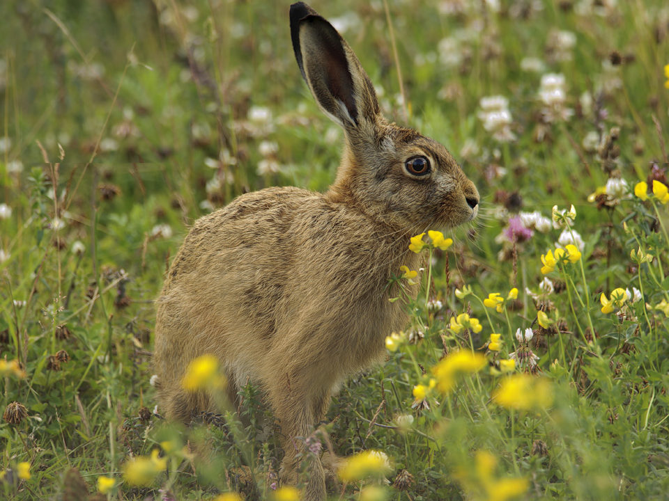
The Fellfoot Forward scheme developed ‘slow’ walking and cycling routes to encourage exploration and immersion in the landscape. The differently accessible routes offer people the opportunity to take time travelling in the landscape, learning about the heritage along the way.
Slow trail routes
Parish councils, walking groups, and members of the community were involved in the development of the six slow trail routes, which start and pass through villages with cafes, shops, and/or pubs. Each route has new descriptions and interpretation available online. Three of the trails are short accessible routes for those with either limited mobility or young children at Long Meg, Castle Carrock reservoir, and Talkin Tarn. Download the routes using the links in the right-hand menu or click on the images below. Watch a video of the accessible route around Talkin Tarn below.


High level walks
Five existing high level routes have been updated and offer more challenging routes to some of the Cumbrian summits in the North Pennines. Download the walks using the links in the right-hand menu or click on the images below.


Fellfoot 40 cycle route
A forty mile cycle route that links villages within the heart of the Fellfoot Forward area offers riders a circular route, with shorter variations, that immerses them in the local landscape. Download the leaflet using the link in the right-hand menu or click on the image below.

Discover more
Related files
- Ainstable slow trail leaflet
- Brampton and Gelt Woods slow trail leaflet
- Castle Carrock slow trail leaflet
- Kirkoswald slow trail leaflet
- Long Meg slow trail leaflet
- Talkin Tarn slow trail leaflet
- Cardunneth Pike high level walk leaflet
- Cold Fell high level walk leaflet
- Dufton Pike high level walk leaflet
- Geltsdale high level walk leaflet
- Talkin Fell high level walk leaflet
- Fellfoot 40 leaflet
You may also like...

Did you know…