What we do
LiDAR Landscapes
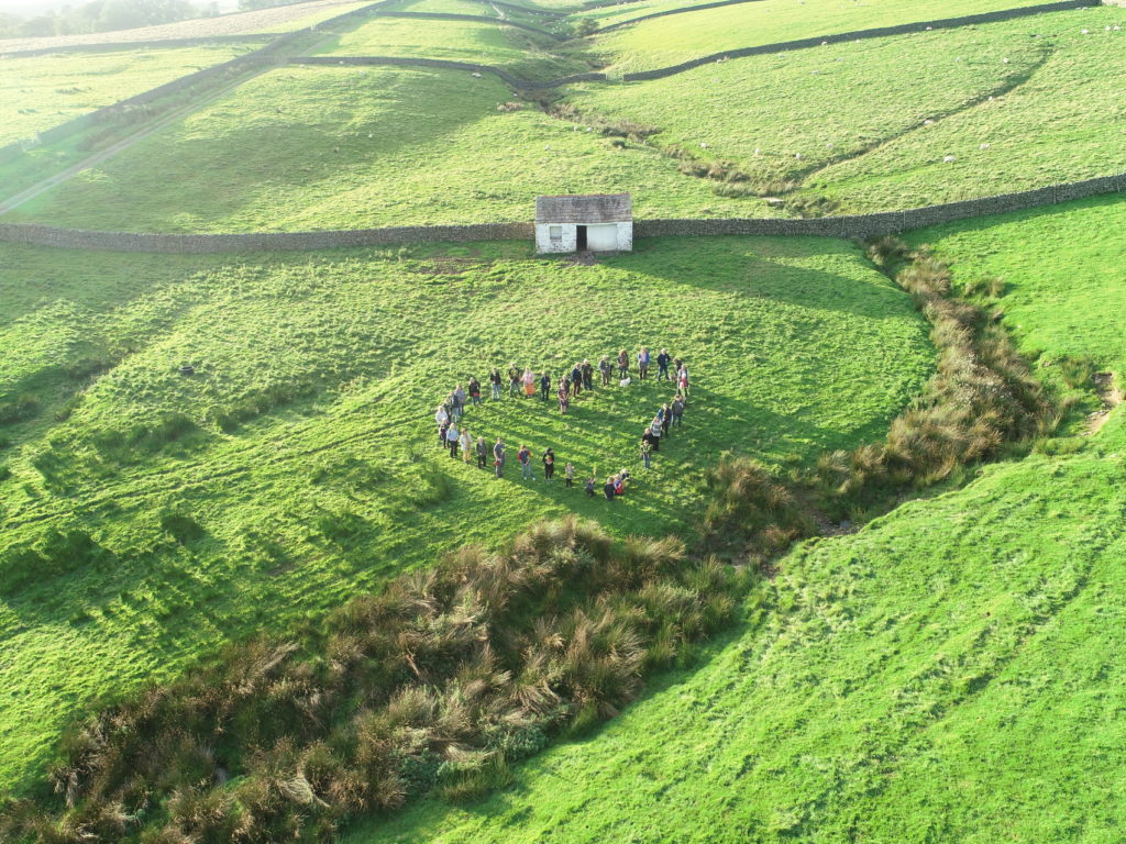
A project to map the archaeology of the North Pennines
LiDAR Landscapes followed on from the North Pennines AONB Partnership’s successful Altogether Archaeology project and covered about 650 sq. kms in the eastern North Pennines.
What is LiDAR?
LiDAR is relatively new technique that records ‘humps and bumps’ on the ground using a laser mounted on an aeroplane. LiDAR data, originally commissioned by the Environment Agency for non-archaeological purposes, is available for extensive areas of the North Pennines. This data can be processed into LiDAR maps that show the ground surface in astonishing detail, including previously unrecorded archaeological features. During the recent Altogether Archaeology project about 250 sq kms of the Allen Valleys and Hexhamshire were surveyed by volunteers using LiDAR, resulting in the discovery of more than a 1000 previously unknown archaeological sites ranging in date from prehistoric to post-medieval times.
The report on this work, along with reports on all fieldwork completed by the AA project, is available at www.altogetherarchaeology.org
Which areas are included?
This project covered about 650 sq kms in the eastern North Pennines.
The three project areas were:
1. Upper Derwent Valley (October – December 2016)
2. Upper Weardale (December 2016 – March 2017)
3. Upper Teesdale (January – April 2017)
How to get involved
The Upper Derwent survey team is already in place and work is underway, but participation in the Weardale and Teesdale surveys is still open to everyone. All that is required is access to a computer and the internet, coupled with an interest in the past and enthusiasm for making new discoveries. All participants should attend a two-hour practical training workshop, at which Paul Frodsham and Stewart Ainsworth, from Channel 4’s Time Team, will explain the basics of LiDAR and how to use it for archaeological survey. After this you will be sent a project manual, together with your own LiDAR maps by email, to study in your own time in the comfort of your own home.These maps will not previously have been looked at by anyone else, so there is a real chance that you could make some exciting discoveries
Discover more…
You may also like...


Did you know…