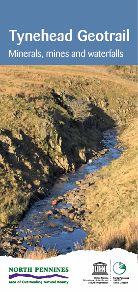
Tynehead Geotrail
A 2.5 mile walk exploring the rocks, mineral veins and waterfalls of the upper South Tyne.

A 2.5 mile walk exploring the rocks, mineral veins and waterfalls of the upper South Tyne.
A 3.5 mile walk exploring the mining history and geological heritage surrounding Stanhope Burn in Weardale.
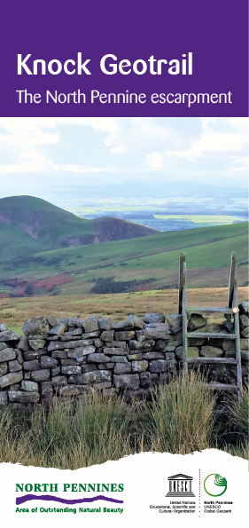
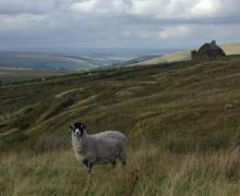
A 6.8 mile walk exploring the distinctive geology of the North Pennine escarpment above Knock village.
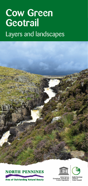
A 5 mile walk exploring the spectacular landscape and rocks around Cow Green Reservoir and Cauldron Snout in Upper Teesdale.
A 3.2 mile walk exploring the mining history and geological heritage surrounding the village of Garrigill and Ashgill Force.
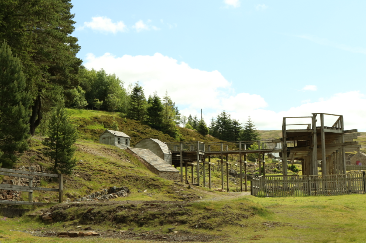
Nenthead Mines is an important historic place at Nenthead, near Alston, in Cumbria, UK. The site includes a geology Site of Special Scientific Importance and is notable for rare lichens and plants growing on the metal-rich mine dumps.
On this 3 mile walk in dramatic Weardale you'll travel back 320 million years to a time when what is now the North Pennines was on the equator, periodically covered by shallow tropical seas, vast deltas and lush rainforests.
This 2 and 3/4 mile (4km) circular walk at Allen Banks explores landscape, rocks, plants and evidence of an industrial past.
Fabulous 3 and 1/2 mile (5.6km) walk route from Blanchland, exploring rocks, fossils and mines.
An interesting and varied 3 mile (4.8km) walk from the highest village in the North Pennines, exploring the area's geology and mining heritage.

© North Pennines National Landscape